LUCIAD's EDGE
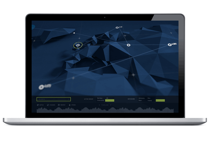
Luciad’s unique approach is to offer software components that function as modular building blocks. This way, geospatial users can have the best of both worlds: a system tailored to their specific needs, created with standardized, high-quality off-the-shelf software, with a worldwide customer base. Luciad has designed its software components for the creation of applications that tackle a range of tasks and situations: from top-line strategy to tactical detail, from operational planning to debriefing and from large cloud projects to handheld standalone applications. With Luciad you can connect directly and on-the-fly to more data sources than with any other product. The software allows you to analyze and visualize past and current situations, and also to predict what will happen next – allowing you to act quickly and safely.
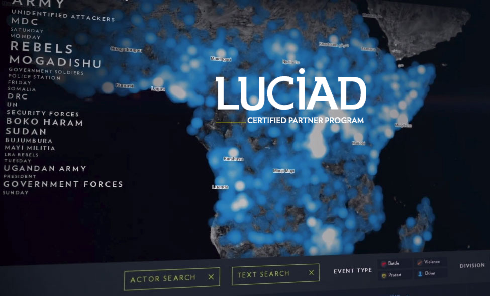
"Connect, visualize, analyze, act" is both Luciad's method and motto. Today Luciad technology is used and valued by hundreds of thousands of users on all continents. Luciad creates value for any industry characterized by a requirement to connect, visualise, and analyse big data in a geospatial context.